
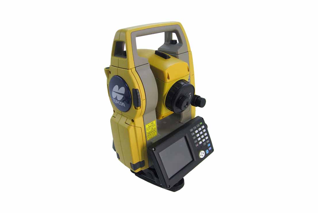
The Total Station is a high-precision optical surveying instrument designed for accurate measurement of horizontal and vertical angles, distances and three-dimensional coordinates during hydrographic, geophysical and geotechnical survey operations. The system provides reliable positioning and control for offshore and onshore engineering projects where precise survey control is essential.
The Total Station combines an electronic theodolite, electronic distance measurement (EDM) system and onboard data processing into a single integrated unit. Using an infrared laser beam, the instrument measures distances to a prism or reflectorless target while simultaneously recording horizontal and vertical angles. The measured data are automatically processed to determine the precise coordinates and elevations of survey control points, structures and construction features.
Designed for rapid field deployment, the Total Station supports a wide range of surveying applications including control surveys, topographic surveys, construction setting out, deformation monitoring, dimensional verification and as-built surveys. The system interfaces with GNSS positioning equipment and survey software to establish and maintain accurate survey control networks, ensuring the positional integrity of all offshore and onshore survey activities.
The Total Station is widely used for establishing survey control at ports, fabrication yards, vessel mobilization sites and offshore construction projects. The system provides the high level of measurement accuracy and reliability required for offshore geotechnical investigations, hydrographic surveys, subsea infrastructure developments, pipeline and cable landfalls, marine construction and engineering projects, ensuring that all survey activities are referenced to a common and verified coordinate framework.