
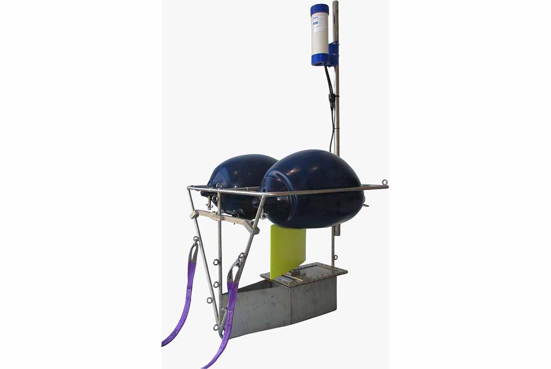
The Marine Seismic Tail Buoy is a surface tracking system designed to accurately monitor the position of the trailing end of a marine seismic streamer during offshore geophysical survey operations. The system provides continuous real-time positioning of the streamer, enabling survey personnel to monitor streamer geometry, maintain accurate navigation and ensure the integrity of seismic data acquisition.
The Marine Seismic Tail Buoy is deployed at the end of the seismic streamer and is equipped with a GNSS positioning receiver, communication system and power supply housed within a rugged, buoyant platform designed for continuous offshore operation. Real-time position data are transmitted to the onboard navigation system, allowing the survey team to continuously monitor the location, heading and layback of the streamer. This enables accurate control of streamer geometry and ensures that the acquired seismic data are correctly referenced throughout the survey.
The Marine Seismic Tail Buoy interfaces seamlessly with the vessel’s integrated navigation and acquisition systems, providing real-time quality control and positional verification during seismic operations. The robust design ensures reliable performance under varying sea states while supporting efficient deployment, recovery and continuous offshore operation.
The Marine Seismic Tail Buoy is widely used for offshore seismic surveys, marine geotechnical investigations, pipeline and cable route surveys, offshore renewable energy developments and offshore construction support. By providing accurate tracking of the seismic streamer, the system improves navigation accuracy, optimises survey efficiency and ensures the high-quality seismic data required for offshore engineering and geological investigations.