
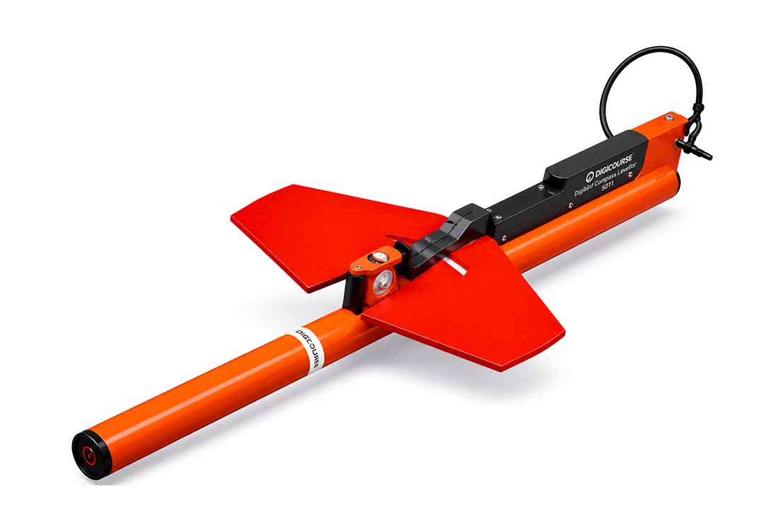
The Digibird Compass Levellor is a subsea digital heading and levelling instrument designed to continuously measure the orientation and inclination of towed marine geophysical equipment during offshore survey operations. Installed directly on seismic streamers, side scan sonars, magnetometers, sub-bottom profilers and other towed survey sensors, the system provides accurate real-time heading and roll data, ensuring optimum sensor alignment and enhancing the accuracy of geophysical data acquisition.
The Digibird Compass Levellor combines a high-precision electronic magnetic compass with an integrated tilt sensor within a robust pressure-rated subsea housing. During survey operations, the instrument continuously measures the heading and roll angle of the attached survey equipment and transmits the data in real time to the onboard navigation and acquisition system. Integrated with GNSS positioning systems, Motion Reference Units (MRU), USBL positioning systems and survey navigation software, the Digibird enables survey personnel to continuously monitor the orientation of each towed sensor, ensuring that all acquired geophysical data are accurately referenced throughout the survey.
Designed for continuous offshore deployment, the Digibird Compass Levellor provides highly reliable orientation measurements with excellent stability under varying sea states, towing speeds and environmental conditions. Its compact, low-drag design allows seamless integration with a wide range of marine survey equipment while providing real-time quality control of sensor heading and levelling, enabling immediate operational adjustments to optimise data quality and survey efficiency.
The Digibird Compass Levellor is widely used for 2D High Resolution (2DHR) seismic surveys, side scan sonar surveys, sub-bottom profiling, magnetometer surveys, pipeline and cable route investigations, offshore geotechnical site investigations, offshore renewable energy developments and offshore construction support. By providing continuous real-time heading and levelling information, the system enhances navigation accuracy, improves sensor positioning and contributes to the acquisition of high-quality geophysical data for geological interpretation, engineering design and offshore infrastructure development.