
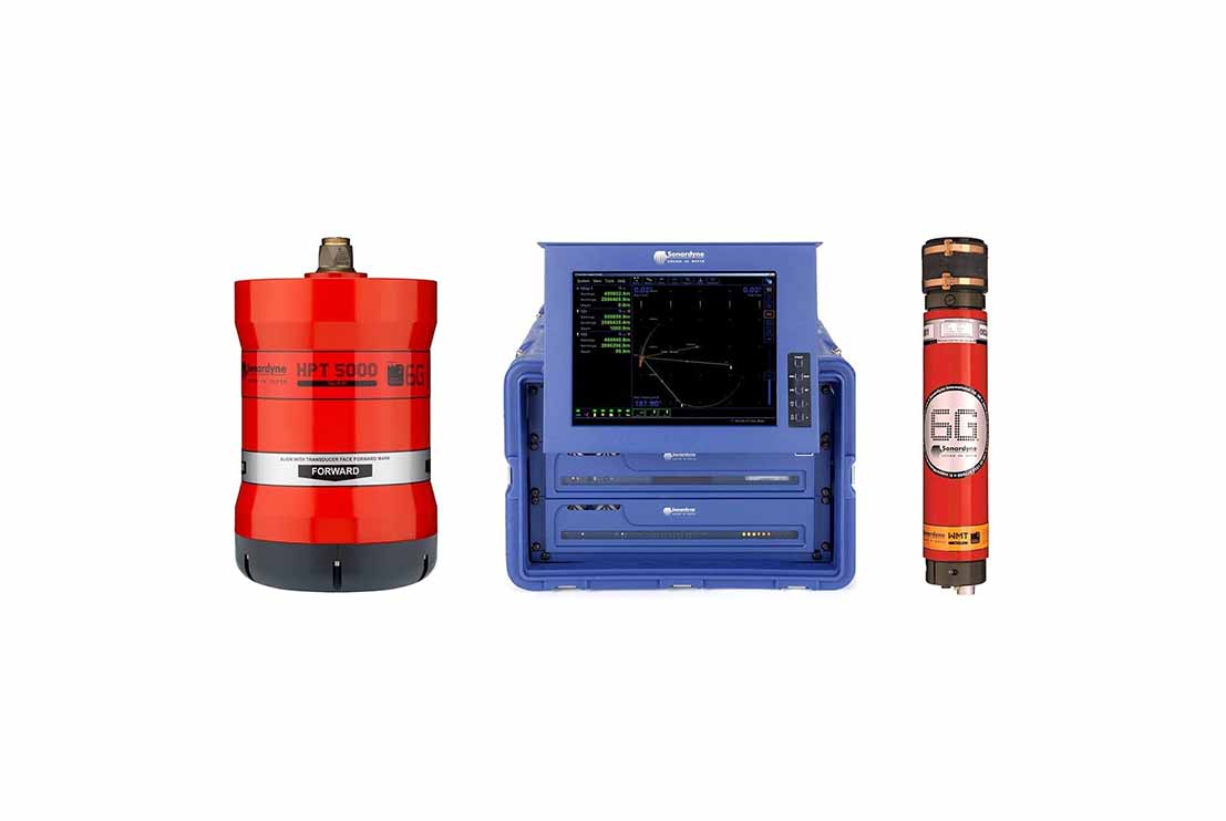
The USBL Underwater Acoustic Positioning System is a high-precision acoustic tracking system designed to accurately determine the position of underwater targets during offshore hydrographic, geophysical and geotechnical survey operations. The system provides real-time subsea positioning for towed sensors, remotely operated vehicles (ROVs), seabed equipment and underwater instrumentation, ensuring accurate deployment, navigation and data acquisition in offshore environments.
The USBL system consists of a hull-mounted or over-the-side transceiver, subsea acoustic transponders and an integrated surface navigation workstation. Acoustic signals are transmitted between the vessel-mounted transceiver and subsea transponder, enabling the system to continuously calculate the three-dimensional position, slant range and bearing of the underwater target. Integrated with GNSS positioning systems, gyrocompasses and Motion Reference Units (MRU), the USBL system applies real-time vessel position and attitude corrections to deliver accurate geo-referenced subsea positioning throughout the survey operation.
Designed for continuous offshore operation, the USBL Underwater Acoustic Positioning System provides reliable tracking and positioning in shallow and deep-water environments. The system interfaces seamlessly with onboard navigation and acquisition software, allowing survey personnel to monitor subsea equipment movements, verify deployment accuracy and maintain precise positional control during underwater operations. Real-time quality control and data logging ensure that all positioning information is accurately recorded for subsequent processing and engineering analysis.
The USBL Underwater Acoustic Positioning System is widely used for offshore geophysical surveys, marine geotechnical investigations, subsea construction support, pipeline and cable route surveys, ROV operations, seabed CPT deployments, underwater asset inspections, transponder positioning and offshore renewable energy developments. The system delivers the positioning accuracy and operational reliability required for safe and efficient offshore engineering operations, ensuring that all subsea equipment and survey sensors are accurately positioned in accordance with project specifications.