
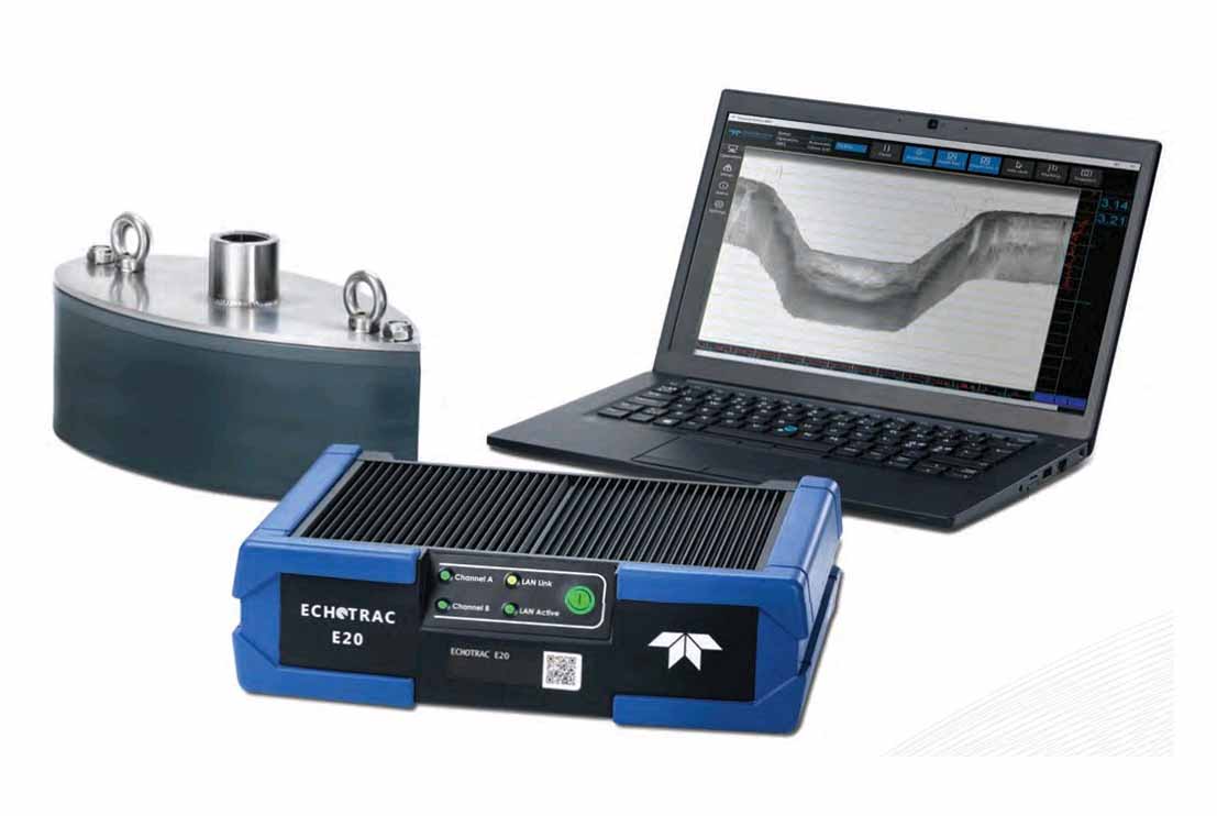
The Single Beam Echo Sounder (SBES) is a high-precision hydrographic survey system designed to accurately measure water depth beneath the survey vessel during offshore hydrographic, geophysical and geotechnical survey operations. The system provides reliable bathymetric measurements for navigation, seabed profiling and engineering investigations, making it an essential tool for marine site characterization and offshore infrastructure development.
The Single Beam Echo Sounder operates by transmitting a high-frequency acoustic pulse vertically towards the seabed and measuring the time taken for the reflected signal to return to the transducer. This travel time is continuously processed to determine accurate water depths beneath the vessel. Integrated with GNSS positioning systems, Motion Reference Units (MRU), gyrocompasses and sound velocity profilers, the system applies real-time corrections for vessel motion, heading and water column conditions to ensure accurate and repeatable depth measurements.
Designed for continuous offshore operation, the Single Beam Echo Sounder provides real-time depth information with excellent accuracy in both shallow and deep-water environments. The system interfaces seamlessly with onboard navigation and acquisition software, enabling synchronized positioning, real-time quality control and efficient data logging for subsequent processing and chart production. Multiple operating frequencies can be utilised to optimise performance under varying seabed and environmental conditions.
The Single Beam Echo Sounder is widely used for hydrographic surveys, offshore geophysical investigations, marine geotechnical site investigations, pipeline and cable route surveys, dredging surveys, port and harbour developments, offshore construction support and environmental baseline studies. The system provides accurate bathymetric data for engineering design, navigation safety, seabed clearance verification and project monitoring, ensuring that offshore survey deliverables meet the accuracy requirements of international hydrographic and engineering standards.