
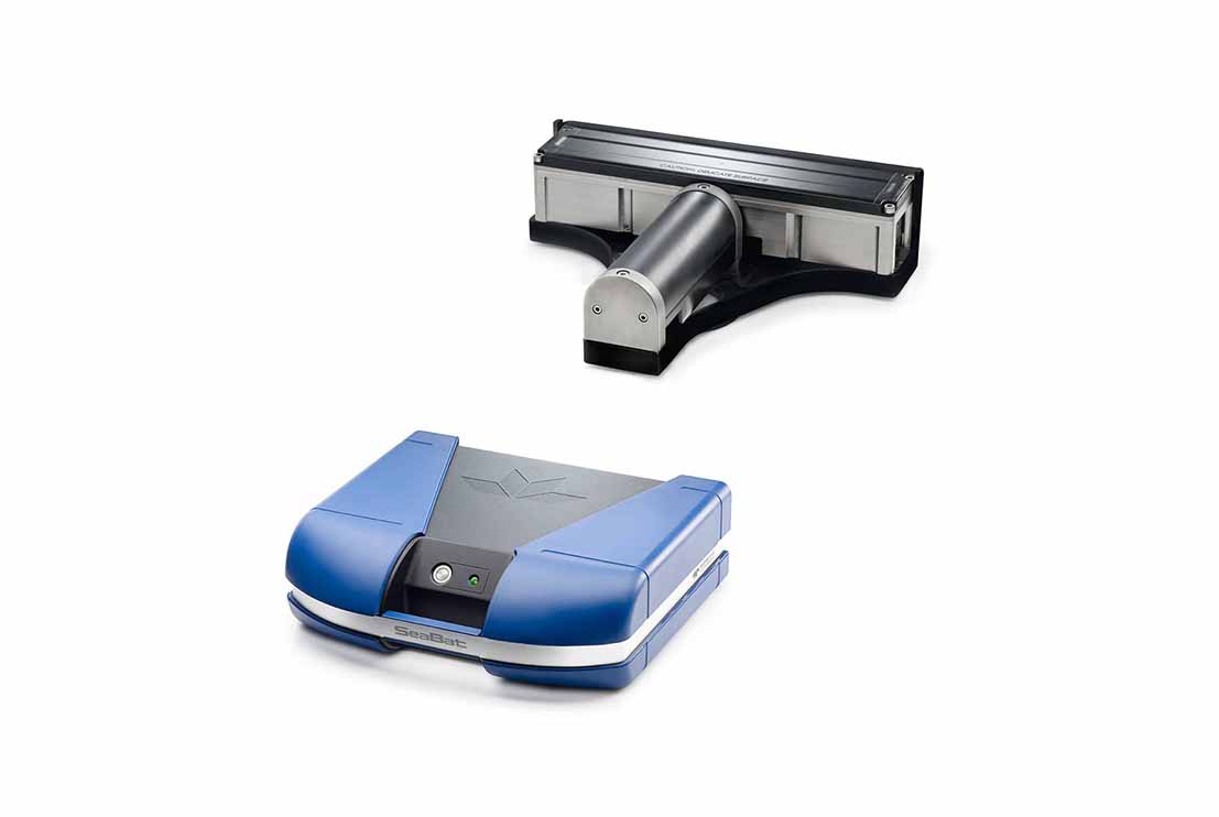
The Multi Beam Echo Sounder (MBES) is a high-resolution hydrographic survey system designed to acquire accurate bathymetric data and detailed three-dimensional seabed imagery for offshore hydrographic, geophysical and geotechnical survey operations. The system simultaneously measures water depth across a wide swath beneath the survey vessel, providing comprehensive seabed coverage with exceptional accuracy and efficiency.
The Multi Beam Echo Sounder transmits multiple acoustic beams in a fan-shaped pattern perpendicular to the vessel track. The travel time of each acoustic pulse is continuously measured and processed to determine precise water depths across the entire survey swath. Integrated with GNSS positioning systems, Motion Reference Units (MRU), gyrocompasses and sound velocity profilers, the system applies real-time corrections for vessel motion, heading and water column conditions, ensuring that bathymetric measurements are accurately referenced throughout the survey.
Designed for continuous offshore operation, the Multi Beam Echo Sounder produces high-density bathymetric data, digital terrain models and backscatter imagery that enable detailed mapping of seabed morphology and underwater features. The system provides real-time data visualization and quality control through integrated navigation and acquisition software, allowing survey personnel to monitor data coverage, identify seabed features and verify survey quality during acquisition.
The Multi Beam Echo Sounder is widely used for hydrographic surveys, offshore geophysical investigations, marine geotechnical site investigations, pipeline and cable route surveys, offshore construction support, port and harbour developments, dredging surveys, renewable energy developments and subsea asset inspections. The high-resolution bathymetric data generated by the system provides an accurate representation of seabed conditions, supporting engineering design, route optimisation, hazard identification and offshore infrastructure development while meeting the accuracy requirements of international hydrographic and engineering standards.