
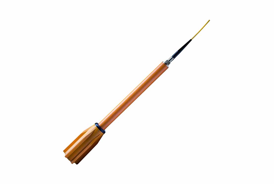
The Marine Magnetometer is a high-sensitivity geophysical survey instrument designed to detect and measure variations in the Earth’s magnetic field during offshore survey operations. The system is used to locate and map ferrous objects buried within or resting on the seabed, making it an essential tool for offshore geophysical investigations, engineering site assessments and seabed hazard identification.
The Marine Magnetometer is typically deployed as a towed sensor behind the survey vessel, where it continuously measures changes in the Earth’s magnetic field caused by magnetic anomalies. These anomalies are generated by ferrous objects such as pipelines, cables, wellheads, anchors, unexploded ordnance (UXO), shipwrecks and other buried or exposed metallic debris. The recorded magnetic data are transmitted in real time to the onboard acquisition system, where they are integrated with GNSS positioning and navigation software to accurately determine the location and extent of each magnetic target.
Designed for continuous offshore operation, the Marine Magnetometer provides high-sensitivity magnetic measurements with excellent positional accuracy and repeatability. The system interfaces seamlessly with hydrographic and geophysical survey equipment including GNSS positioning systems, Motion Reference Units (MRU), gyrocompasses, USBL acoustic positioning systems and integrated navigation software, enabling synchronized data acquisition, real-time quality control and efficient post-processing.
The Marine Magnetometer is widely used for offshore geophysical surveys, pipeline and cable route investigations, unexploded ordnance (UXO) detection, archaeological surveys, offshore construction support, seabed clearance surveys, pre-lay and post-lay inspections and environmental baseline studies. By accurately detecting buried and exposed ferrous objects, the system supports hazard identification, route optimisation and engineering assessments, providing reliable geophysical data for the planning, design and safe execution of offshore infrastructure projects.