
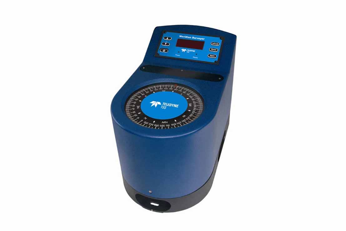
The Gyrocompass is a high-precision heading sensor designed to provide accurate and reliable vessel heading information for offshore hydrographic, geophysical and geotechnical survey operations. Utilizing advanced north-seeking gyro technology, the system delivers true heading measurements independent of magnetic interference, ensuring accurate navigation and sensor orientation throughout survey activities.
The Gyrocompass continuously determines the vessel’s true heading by detecting the Earth’s rotation, providing stable and drift-free heading data even in areas where magnetic compasses are affected by local magnetic anomalies or steel vessel structures. The system interfaces directly with onboard navigation software, motion reference units (MRU), multibeam echo sounders, side scan sonars, sub-bottom profilers, USBL acoustic positioning systems and other marine survey sensors, ensuring that all survey data are accurately referenced to true north.
Designed for continuous offshore operation, the Gyrocompass delivers real-time heading information with high repeatability during vessel manoeuvring, line keeping and dynamic positioning. The system provides reliable heading data for survey navigation, sensor alignment, data acquisition and quality control, enabling precise positioning and accurate seabed mapping throughout the survey.
The Gyrocompass is widely used in hydrographic surveys, offshore geophysical investigations, marine geotechnical surveys, pipeline and cable route surveys, offshore construction support, dredging operations and subsea asset inspections. The system provides the accurate heading reference required for integrating multiple survey sensors, maintaining positional integrity and ensuring the quality and consistency of offshore survey data under all operating conditions.