
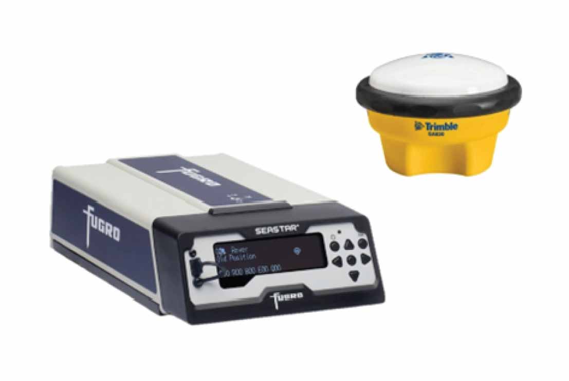
The GNSS Positioning System provides high-precision positioning for offshore hydrographic, geophysical and geotechnical survey operations. Utilizing multi-constellation Global Navigation Satellite System (GNSS) technology and real-time differential corrections, the system delivers reliable centimetre-level positioning accuracy for vessel navigation, sensor positioning and offshore construction support.
The system comprises a high-performance GNSS receiver and marine-grade GNSS antenna capable of tracking multiple satellite constellations including GPS, GLONASS, Galileo and BeiDou. Integrated with real-time correction services, the system continuously computes accurate vessel position, heading, speed and time while maintaining stable positioning in challenging offshore environments. The receiver interfaces seamlessly with onboard navigation software and survey sensors, ensuring synchronized positioning data throughout survey operations.
Designed for continuous offshore operation, the GNSS Positioning System supports integration with multibeam echo sounders, side scan sonars, sub-bottom profilers, magnetometers, USBL acoustic positioning systems, motion reference units (MRU), inertial navigation systems (INS) and other marine survey instrumentation. The system provides reliable positioning data for real-time navigation, data acquisition, quality control and post-processing applications.
The GNSS Positioning System is suitable for a wide range of offshore applications including hydrographic surveys, offshore geophysical surveys, marine geotechnical investigations, pipeline and cable route surveys, offshore construction support, dredging operations, renewable energy developments and subsea asset positioning. The system delivers the positioning accuracy, reliability and operational flexibility required to support offshore engineering projects while ensuring compliance with international survey standards.